
-
Begby Gullskår Petroglyphs
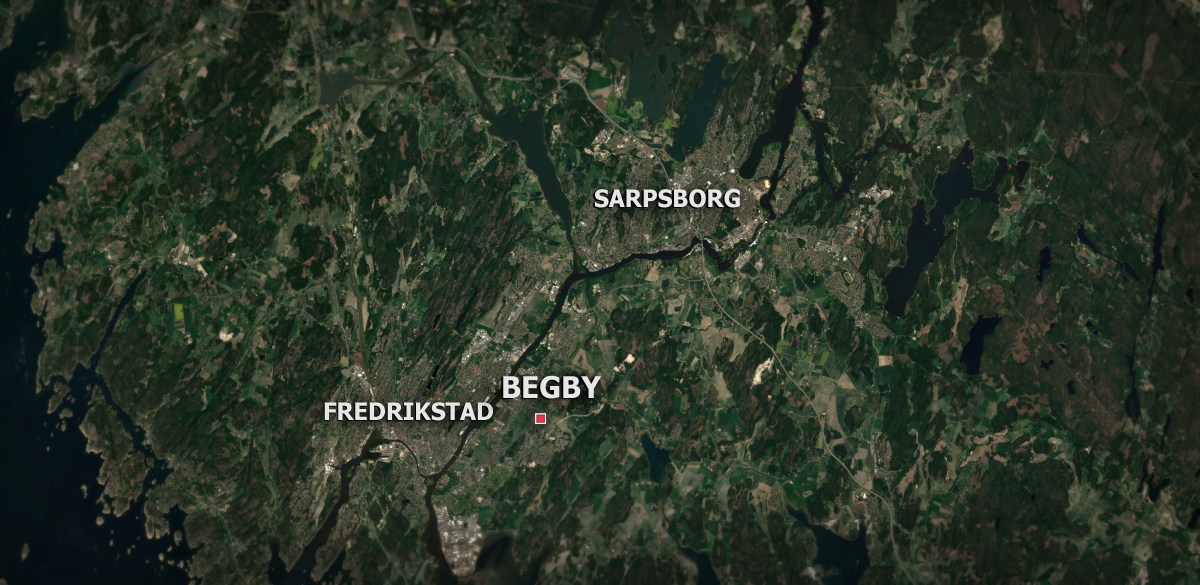
The Begby petroglyphs in Fredrikstad are dated to the Nordic Bronze Age (1800 BCE -500 BCE). This is the largest rock art site located along Oldtidsruta in Østfold. This site is usually just referred to as Begby, or Begbyfeltene – named after the nearby Begby farm. There are two main groups of petroglyphs at Begby,…
-
Hornesfeltet
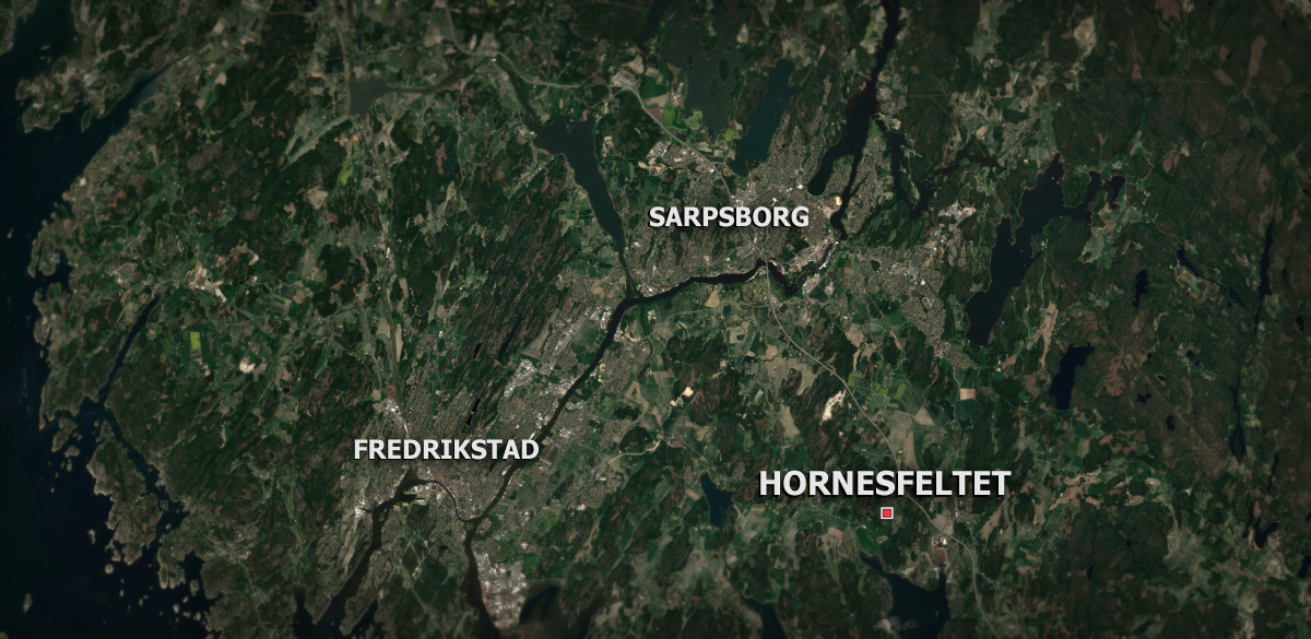
Hornesfeltet is another one of the many petroglyph sites dated to the Nordic Bronze Age (1800 BCE -500 BCE) located along Oldtidsruta. Hornes is in Skjeberg, Sarpsborg Hornesfeltet mostly consists of ship figures, but there are also some cup marks (skålgroper) and one human. The painting had started to fade from many of the petroglyphs…
-
Solbergfeltet
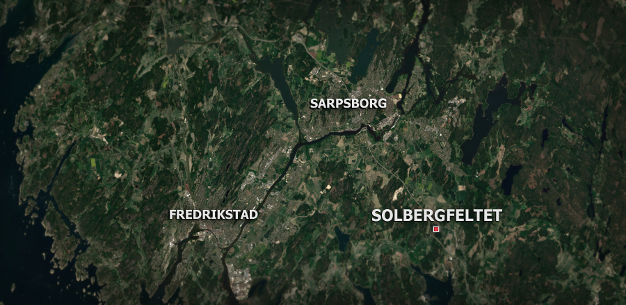
Solbergfeltet is located in Sarpsborg, and is among the many petroglyph sites located along Oldtidsruta in Østfold. Like the other rock carvings in the area, Solbergfeltet is dated to the Nordic Bronze Age (1800 BCE -500 BCE). The site has been adapted to universal accessibility. Solbergfeltet actually consists of two patches of rock carvings that…
-
Bjørnstadfeltet
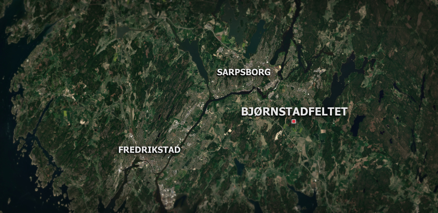
Bjørnstadfeltet is a site with petroglyphs in Sarpsborg and a part of Oldtidsruta. The site is also known as Bjørnstadskipet, or the Bjørnstad ship, because of the large ship figure dominating the site. The petroglyphs are dated to the Nordic Bronze Age (1800 BCE -500 BCE) The petroglyphs at the site are painted, but the…
-
Ekeberg Petroglyphs
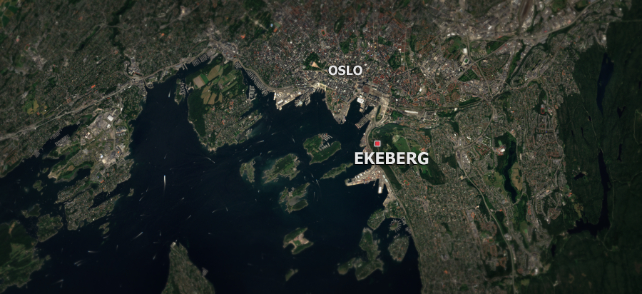
I traveled to and photographed the petroglyphs at Ekeberg in Oslo for Fortidens Norge. These petroglyphs are dated to around 3000 BCE during the Nordic Stone Age. The location of the petroglyphs are fairly close to the Oslo city center, but I still managed to get a bit lost when driving there with the city…
-
Møllerstufossen Petroglyphs
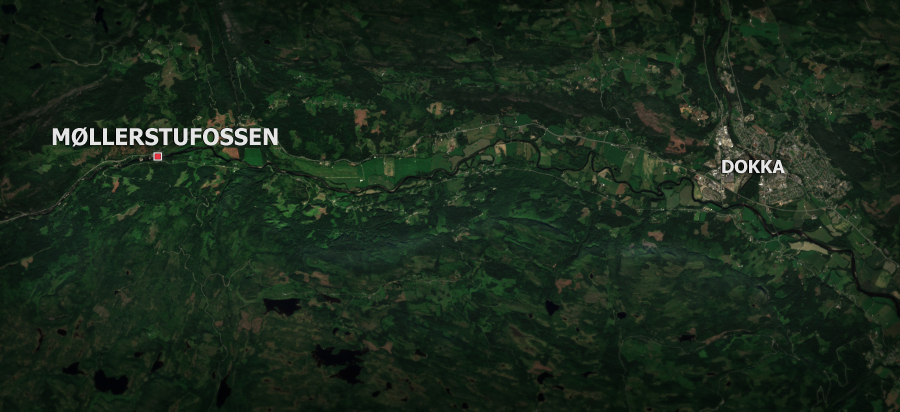
I visited and photographed the petroglyphs at Møllerstufossen by the river Etna in Dokka. Red paint is no longer applied to the petroglyphs at Møllerstufossen, as it can damage the petroglyphs. This can make some of them difficult to see. I’ll later use the images from the trip to draw different interpretations of the petroglyphs.
-
Petroglyphs at Stein and Steinsholmen in Moelv
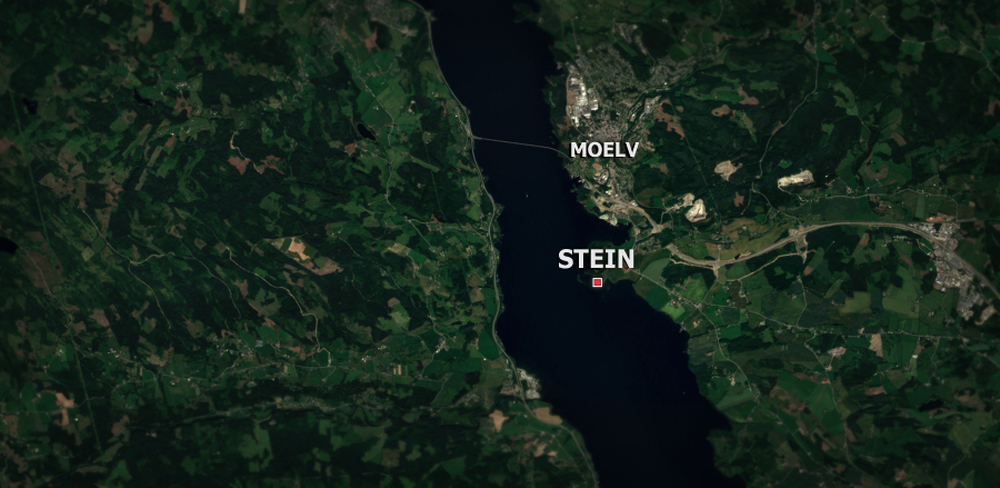
Steinsholmen is only accessible by foot when the water level of Mjøsa is low, such as in the spring. Below in a comparison of satellite images taken in May and July to show the difference in water levels.
-
Water Quality of Lake Mjøsa through Satellite images
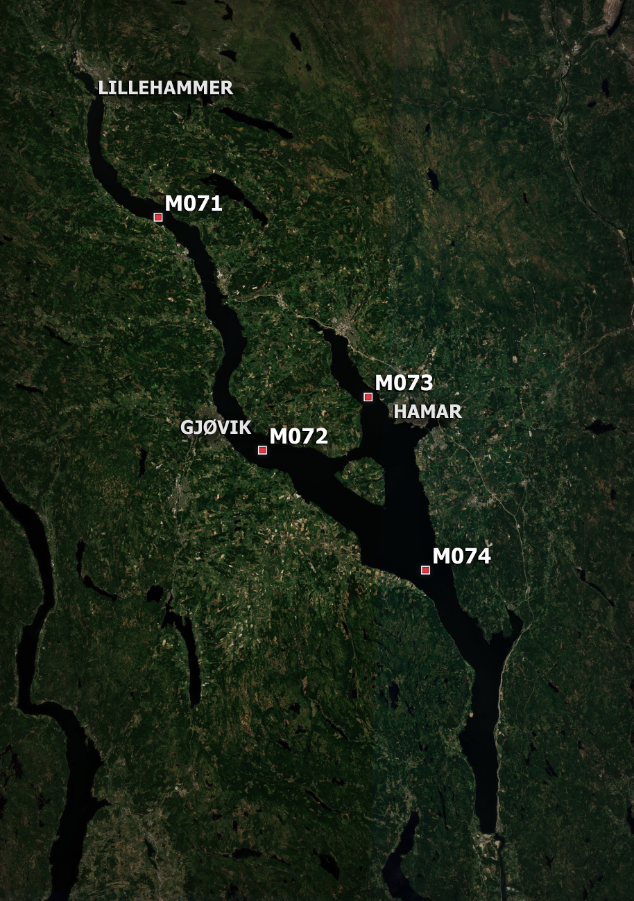
I recently finished a project as a research assistant at NTNU Colourlab where I investigated the possible use of multispectral satellite images for analyzing the water quality of lake Mjøsa in Norway. I presented the results at the NOBIM 2021 conference. My supervisor, Hilda Deborah, and I summarized our initial findings in a paper titled…
-
Wildfires in Siberia
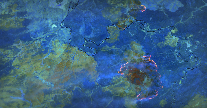
Sentinel-2 satellite imagery of wildfires in Siberia.